


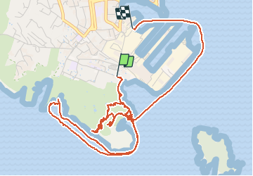


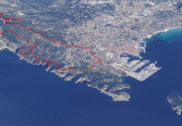
12.1 km | 19.9 km-effort

User GUIDE


FREE GPS app for hiking
 SityTrail
IGN / Geographical institutes
SityTrail World
The world is yours!
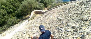
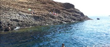
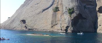
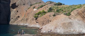
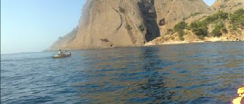
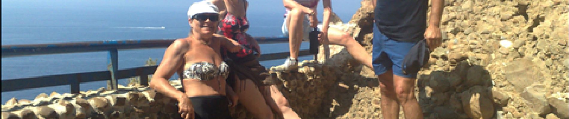
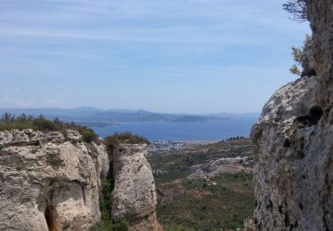
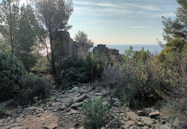
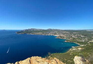
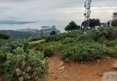
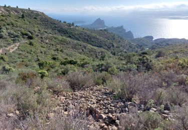
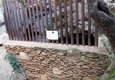
Trail Other activity of 9.9 km to be discovered at Provence-Alpes-Côte d'Azur, Bouches-du-Rhône, La Ciotat. This trail is proposed by harydh.
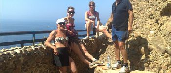
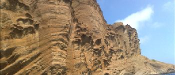
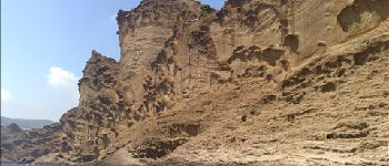
samedi 4 août 2012 sous le bec de l'aigle


Walking
Walking

Walking
Walking
Walking
Walking
Walking

Walking
Walking